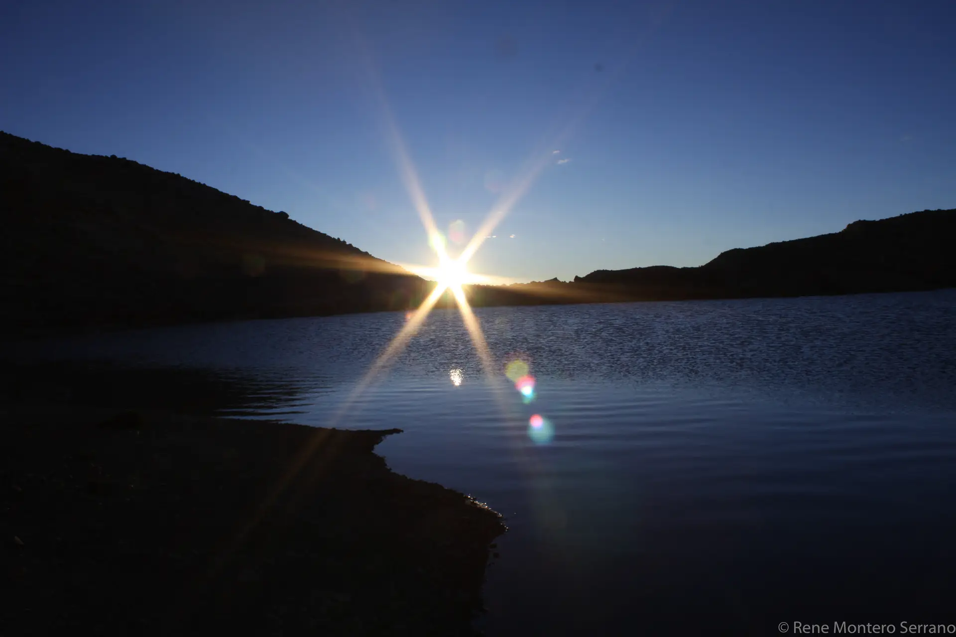
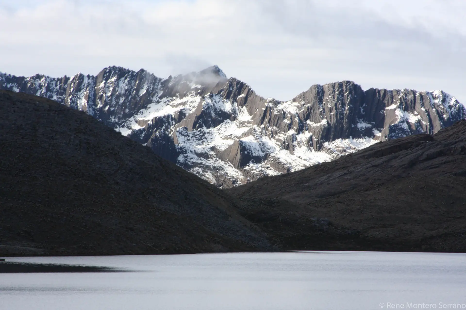
“El Cocuy” National Natural Park, is located northeast of the
Andean Eastern Cordillera, between the departments of Arauca,
Boyacá and Casanare, with an area of 306,000 hectares. On the
western side, this Protected Area begins at 4,000 meters, and
extents up to 5,330 meters at the highest peak of the mountain
range, but on the eastern side it ends at 600 meters in the
foothills of Arauca and Casanare departments.
On the western side of the protected area, Sierra Nevada
overlaps with quaint towns like Güicán de la Sierra, El Cocuy,
Chita and Chiscas.
In order to properly develop Ecotourism, a management area
known as General Exterior Recreation Zone was established, it
has 4,915.84 hectares, and represents 1.5% of the total area of
El Cocuy National Natural Park. Is located above 4,400 meters
in the western slope of Sierra Nevada, from Portón de
Lagunillas in the town of Güicán and El Cocuy up to the limits
of the town of Güicán and Chiscas near lagoon Pantano Hondo.
It also includes the areas surrounding Sierra Nievecitas and
lagoon of Las Orozcas in the town of Chiscas.
TECHNICAL INFORMATION
TEMPERATURE
27 °C
ECOSYSTEM
Amazon Foothills and Amazon Plains
ELEVATION
254 m.s.n.m.
InHhabitants
Cofán Villages
Humidity
76%
ITINERARY
DAY 1 -DEPARTURE FROM BOGOTA
Departure at 8 am El Dorado airport
Tour in towns of Boyacá and Cundinamarca
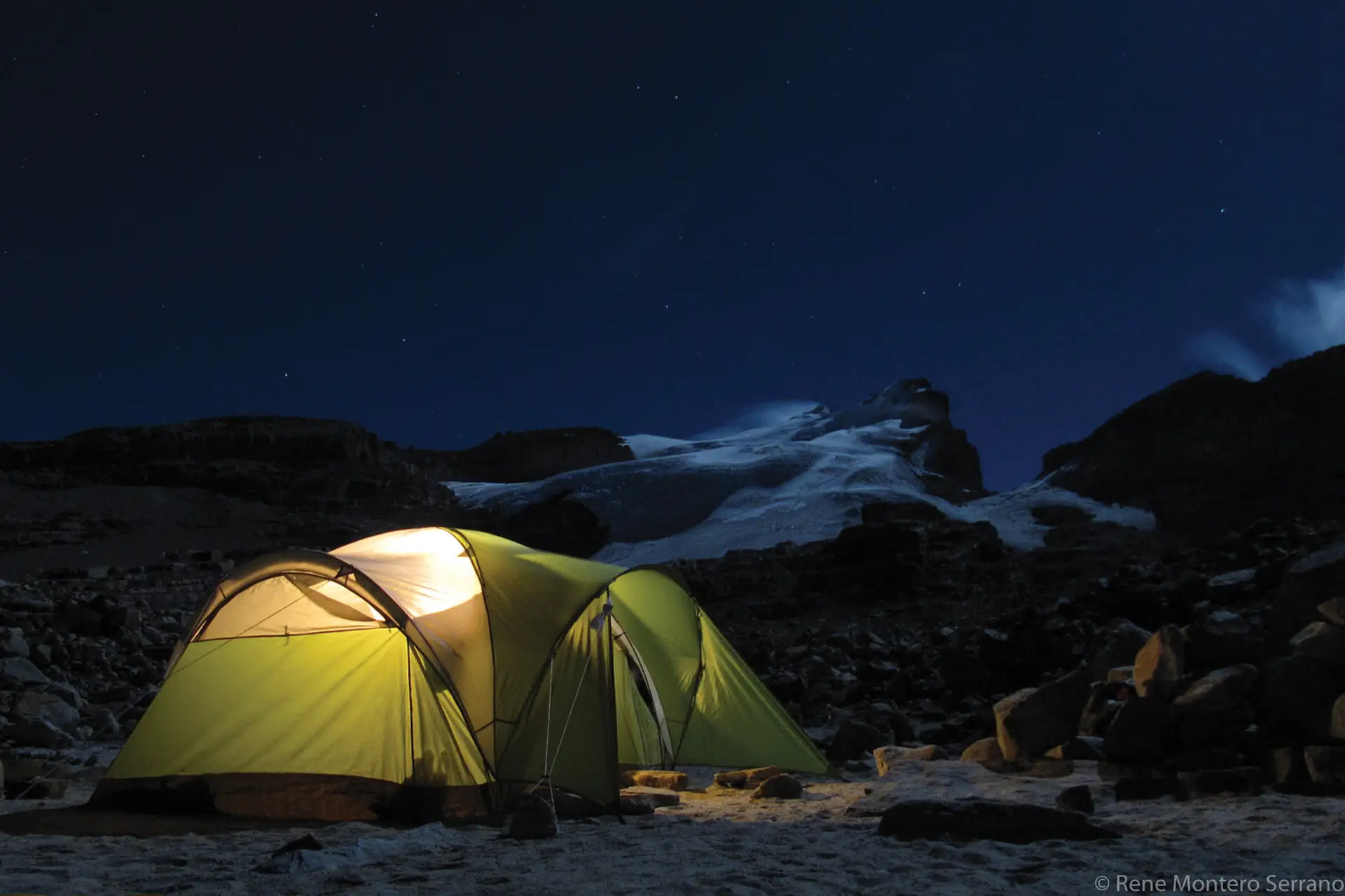
Arrival at Cocuy and ascent to the refuge
Dinner
Rest
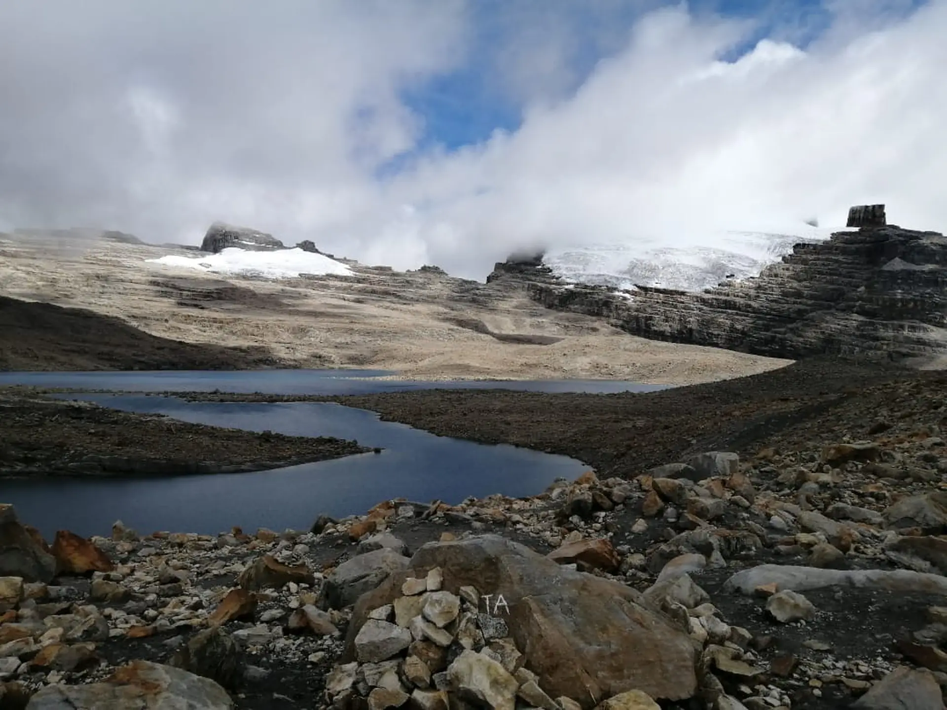
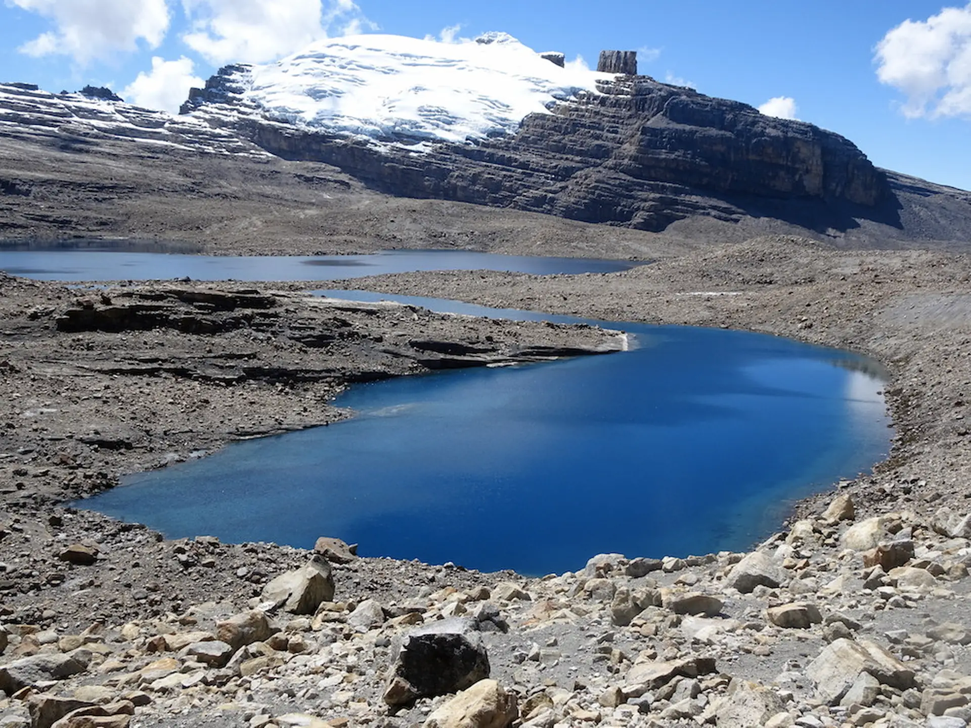
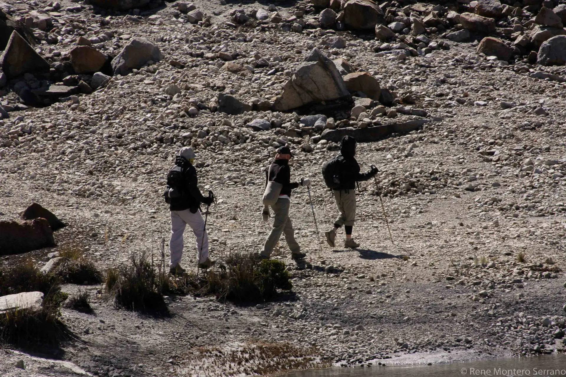
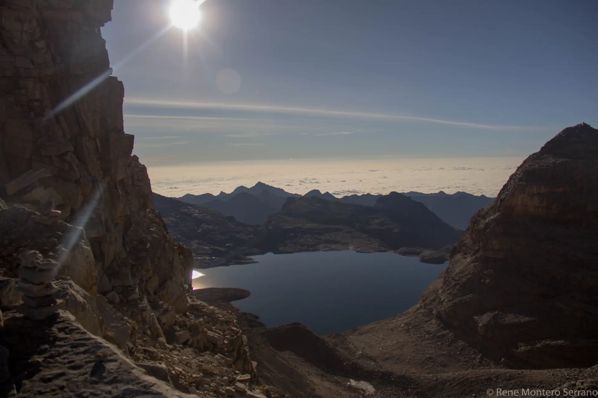
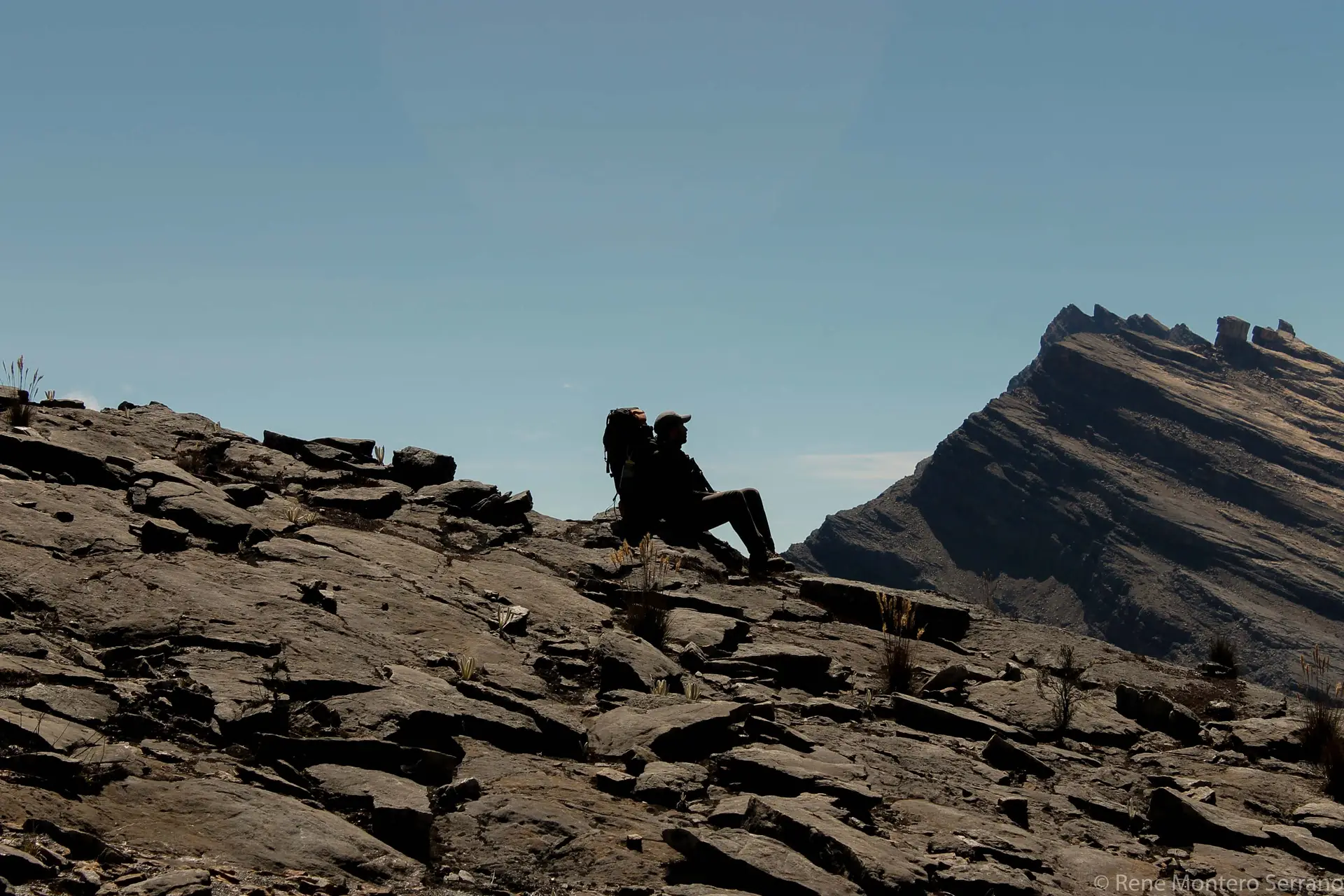
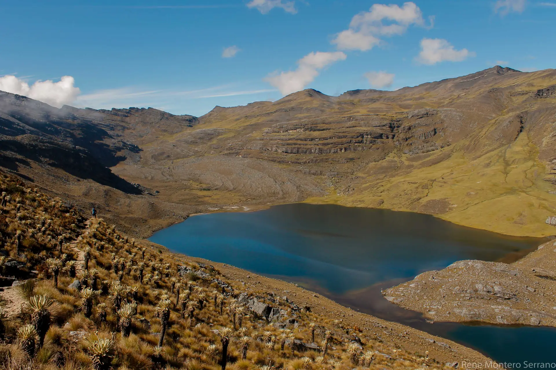
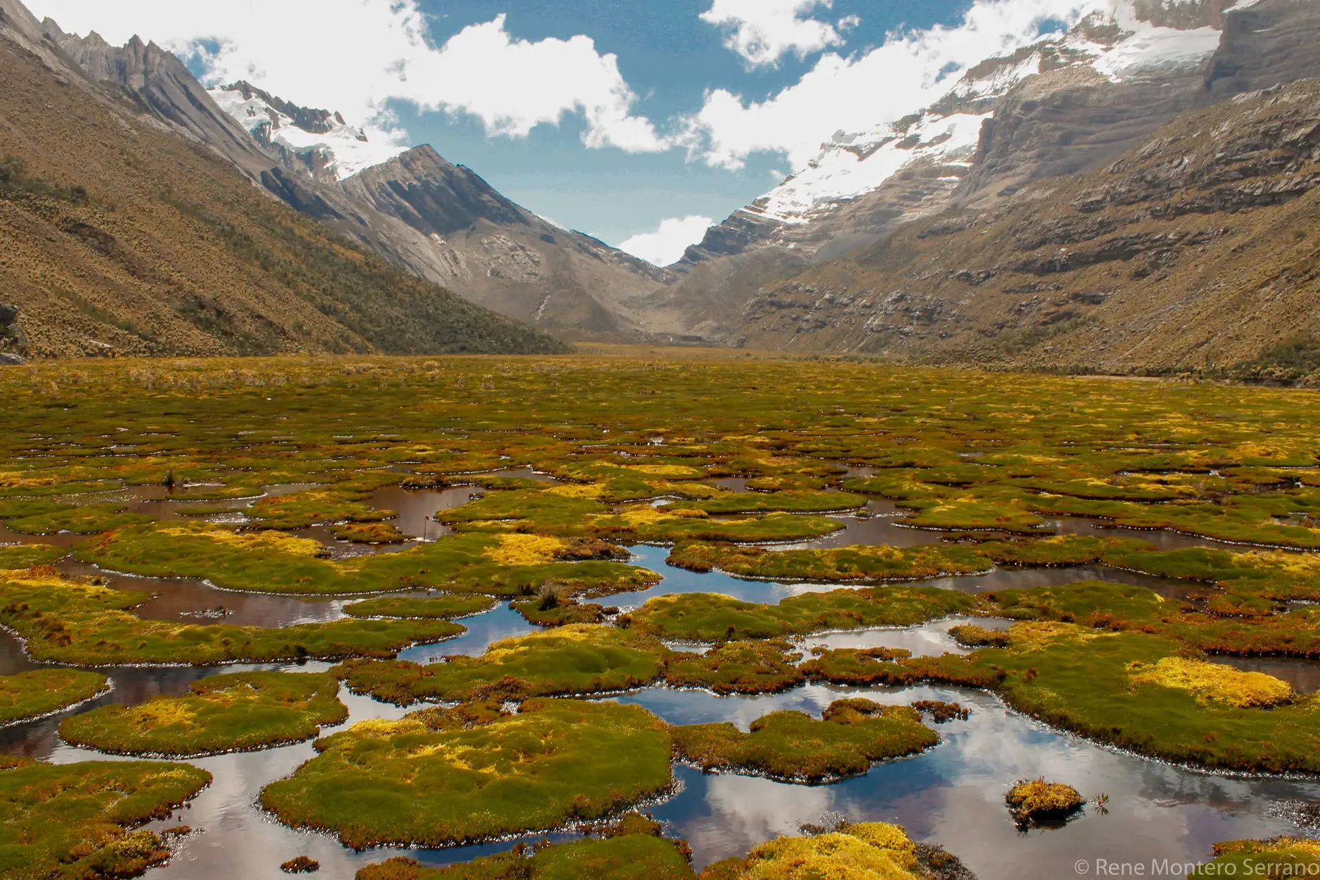
DAY 2 - LAGUNA GRANDE LA SIERRA TRAIL
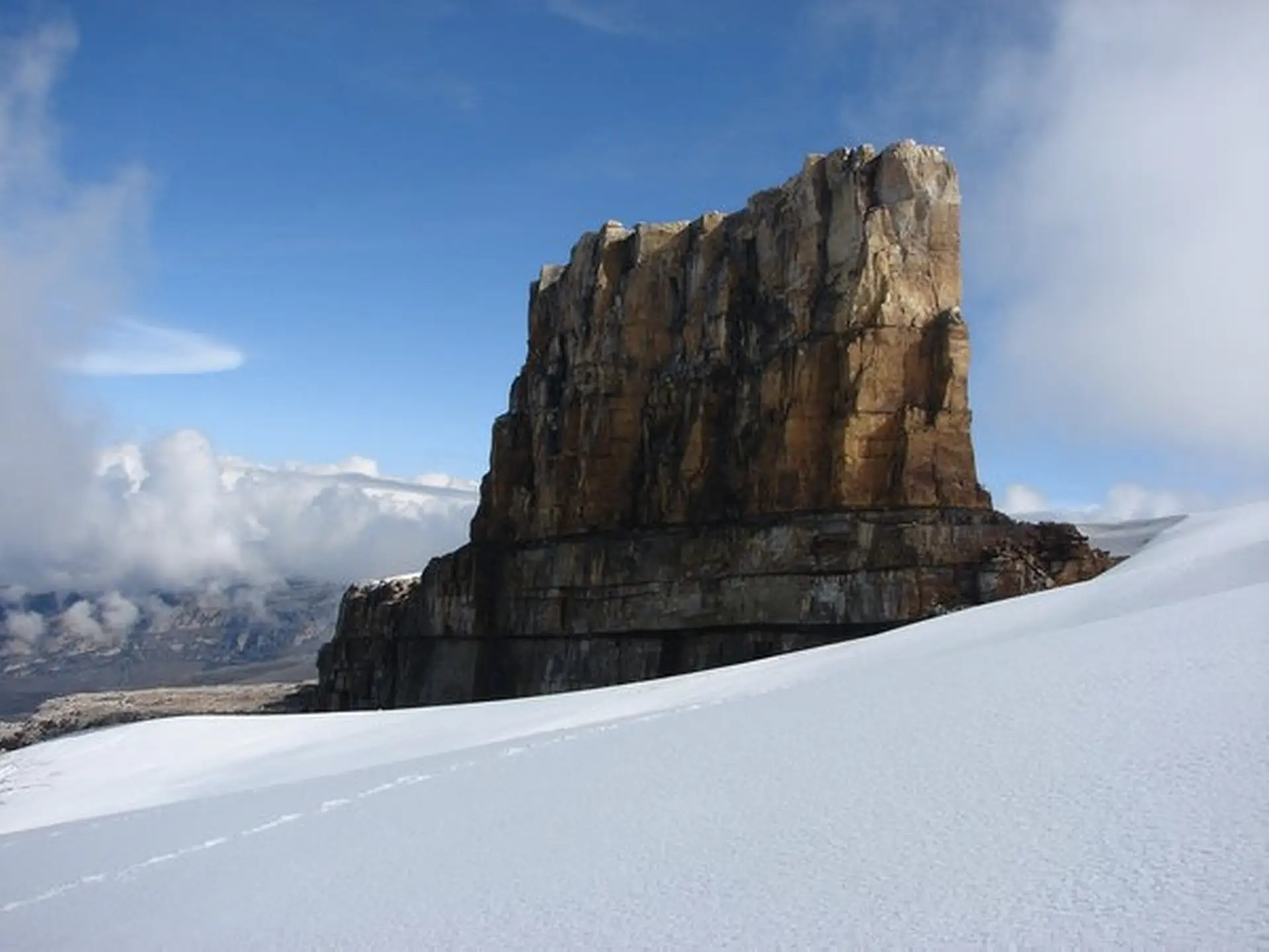
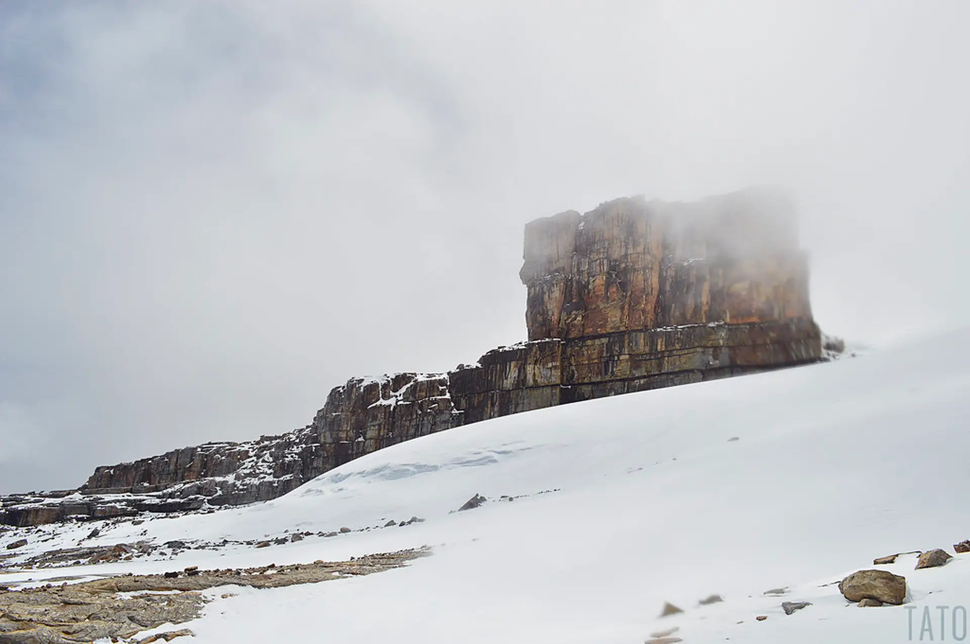
Devil´
s Pulpit, one of the most iconic places of Nevado el Cocuy
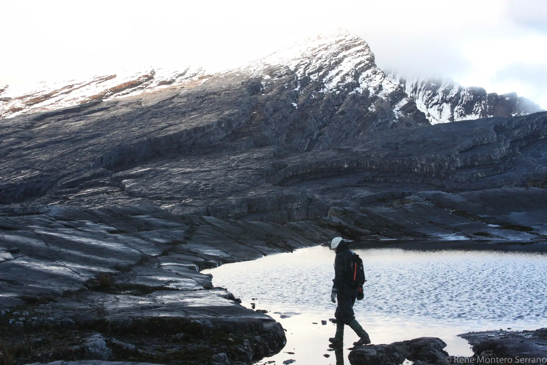
<brThis trail in the Sierra Nevada del Cocuy begins at 4,000 meters and ends at
4,800 meters, on the snow edge of the Nevado Pan de Azúcar and next to
the Devil's Pulpit, an imposing rock formation of at least 70 meters high,
which is one of the most representative places in the park.
The round trip hike is approximately 20 kilometers and usually takes 8 hours.
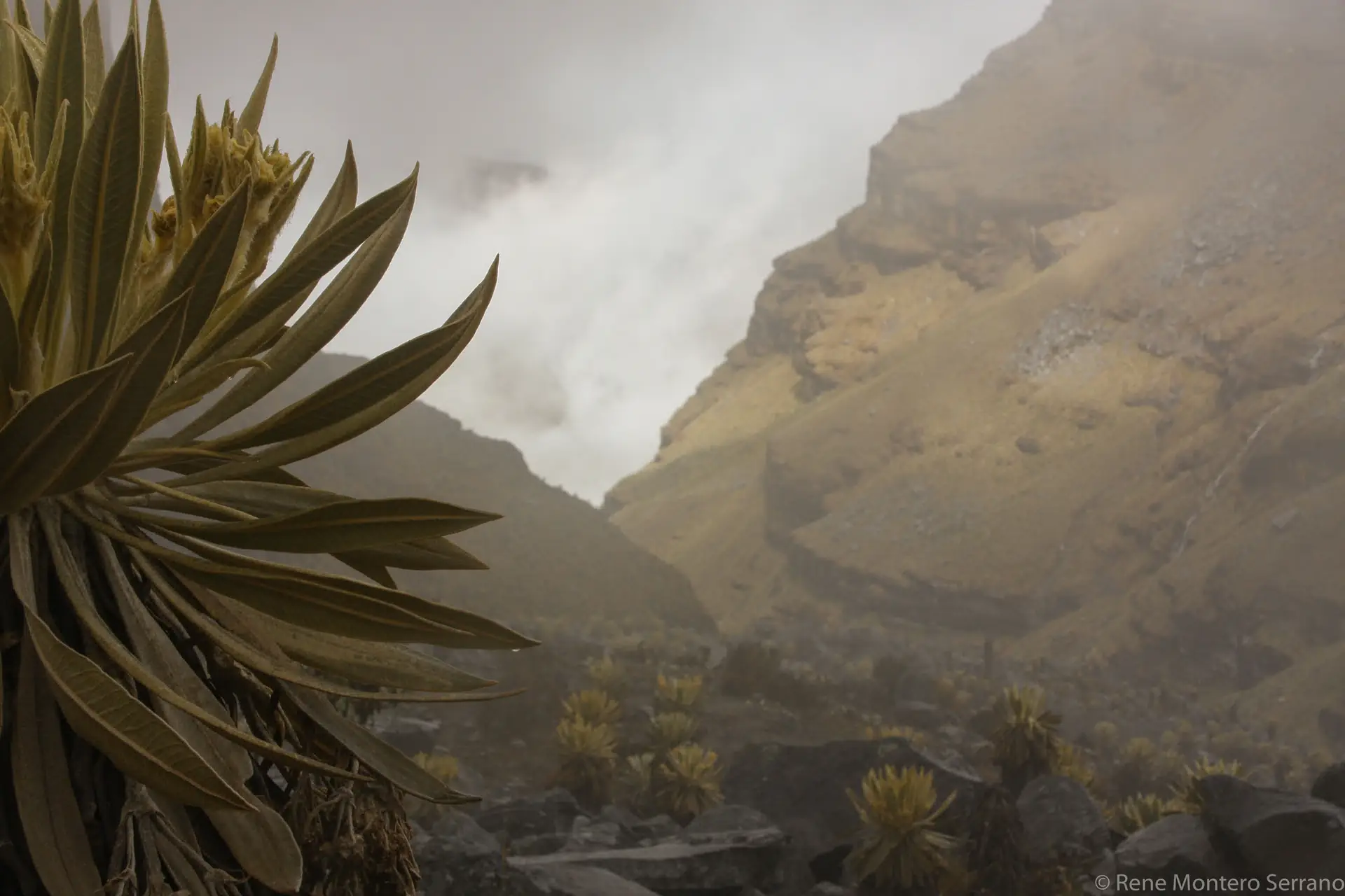
On the way you will pass through valleys of frailejones and you will be able to
appreciate ravines, lagoons, beds, flagstones, snow-capped peaks and the
vegetation typical of the paramo and super paramo.
The last stop before reaching the snow and the Devil's Pulpit is the sector
known as the Little Hotel, there you can rest for a while, eat something light
and recharge your energy, because from that point the strongest and most
inclined part of the path begins.
DAY 3 rest
7:00 a.m. breakfast
8:00 am acclimatization walk and short walk at sunset
7:00 p.m. Dinner
8:00 p.m. Break
DAY 4 DEVIL´S
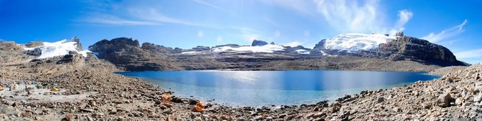
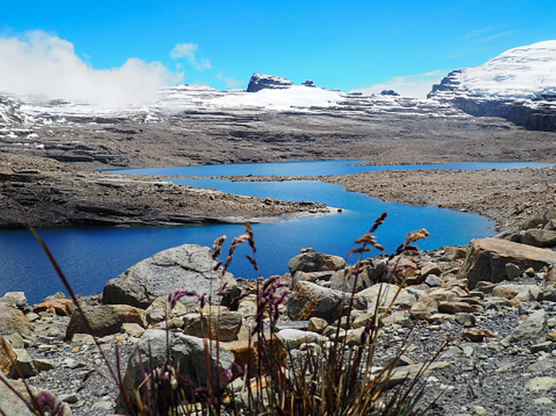
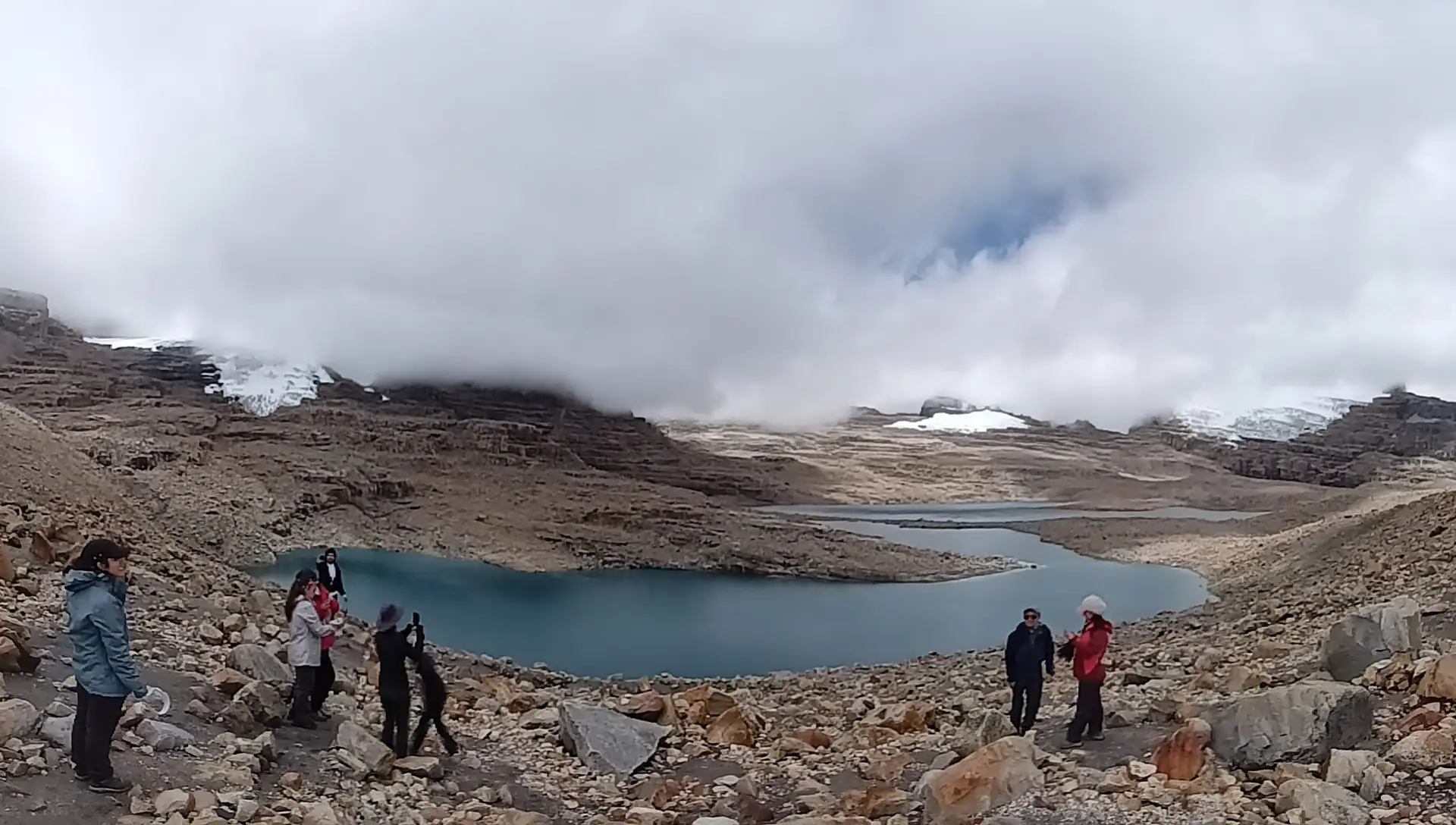
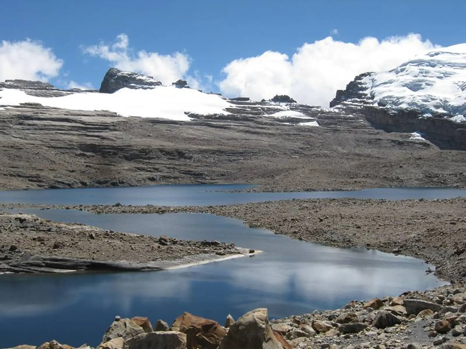
Lagunillas – Devil´
s Pulpit- is a journey of approximately 20 kilometers
starting from the checkpoint located 4,000 meters high. You start with a 5.5
K hike towards the entrance of Lagunillas using a medium difficulty level
natural trail. Here you can appreciate Frailejon vegetation, enjoy majestic
waters that flow out of Lagunillas river and contemplate unique mountain
peaks. Now you move on to a 4.5 K trail that starts at 4,000 high and goes
50 meters right before the glacier edge, approximately 4,800 meters high.
Unbeatable view to contemplate campanilla lagoons, Pan de Azucar peak,
devil’s pulpit , its lagoons, rivers, beds, flagstones and super páramo
vegetation.
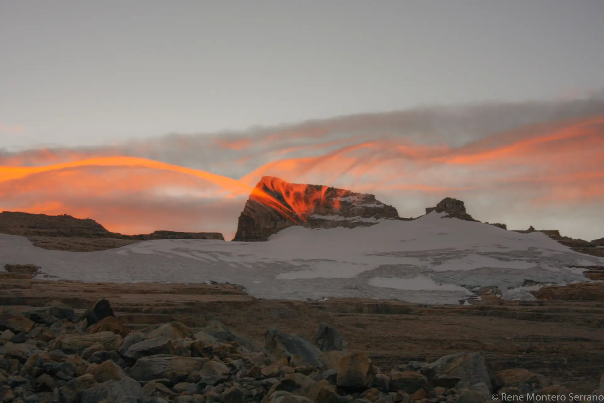
The Devil’s Pulpit is a giant vertical rock devoid of snow that is anchored to
the mountain range facing the western slope of the mountain range in the
southern sector, with an elevation of 5070 meters at its base. Its name
comes from an ancient legend that narrates the adventures of the devil, who
sat on that rock at night and began to do evil things, causing meltdowns and
avalanches in this sector (Castañeda & Suárez, 1989). This giant rock has
about 70 meters high and 150 meters wide.
Source: Cárdenas Y, PNN el Cocuy (2018)
INCLUDES
Transportation Bogotá – Cocuy- Bogotá
Food: 2 dinners, 3 lunches, 3 breakfasts
Entrance to national parks
Photography
3 nights accommodation
Tourist policy
Tour Leader from Bogota
Specialized guide for every 5 travellers
2 high mountain trails: Devil´
s Pulpit and Laguna Grande
La Sierra, and 1 adaptation trail
trip detail
NOT INCLUDED
Flights--food not stipulated in the plan-tips
Additional charges-alcoholic
beverages-food on the way to Bogotá Guicán and viceversa
TRAVEL RECOMMENDATIONS
Trekking boots or rain boots
Clothing: 3 pants (quick-drying antifluid fabric or
leggings), 3 shirts and 3 pairs of long socks.
Windbreaker jacket and a warm coat
Cap or hat, wool cap
Sunscreenr
Headlamp
Handy raincoat if it rains
Buff
Camelback or 2 liter thermos
Backpack (30 to 40 liters)
.
Personal plate and spoon
First-aid kit and personal medicines
B3 seasons tent - tent cover
Sleeping bag
Sleeeping
Participate in pre-training meetings
BOOK NOW
PAYMENT OPTIONS
Make your payment online with all kinds of credit cards, or if you prefer, you can do it with PSE banking system.
DO YOU WANT TO PLAN A TAILOR-MADE TOUR?
If you’re interested in a tailor-made trip or you have any questions about your travel experience, please contact us.